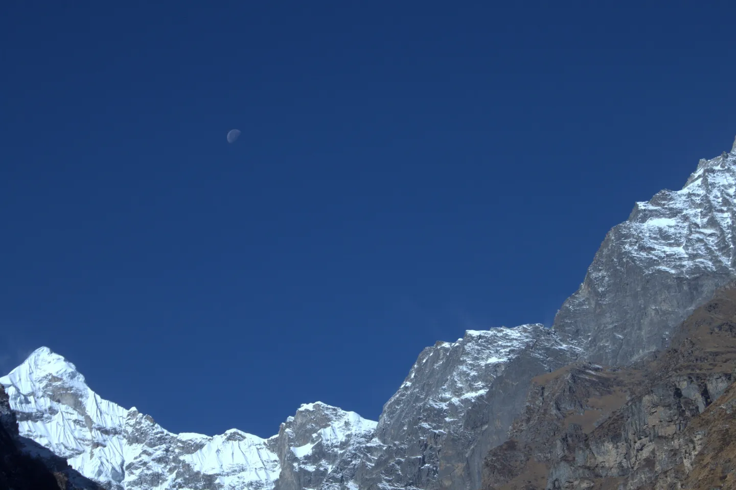
- Photo: Gyaneshwar2000 · CC BY-SA 4.0
Char Dham Yatra
Hosted by The Crazy Mountaineers
Ten days by road from Haridwar around all four Garhwal shrines, of which roughly 44 km is actually on foot.
Trip details
The Char Dham circuit links four Himalayan shrines in Garhwal: Yamunotri at about 3,293 m, Gangotri at 3,100 m, Kedarnath at 3,583 m and Badrinath at 3,133 m, visited in that west-to-east order. It is overwhelmingly a road journey. The headline 1,607 km is driving distance around the loop from Haridwar, not walking; on this itinerary the only walking is 6 km each way to Yamunotri from Janki Chatti and 16 to 17 km each way to Kedarnath from Gaurikund, roughly 44 km in total, and both can be done by pony or palki instead. Gangotri and Badrinath are reached by vehicle to within a few hundred metres of the temple. What that leaves is a demanding schedule of long mountain drives: a 270 km day between Uttarkashi and Guptkashi, a 195 km day over the passes to Badrinath, a 309 km run home. Two nights are spent above 3,000 m, at Kedarnath and Badrinath, each reached by gaining more than 1,800 m of sleeping altitude in a single day. The circuit is open only between the temple portals opening around Akshaya Tritiya and closing around Bhai Dooj. It suits people willing to accept ten days of hard travel and honest about their cardiac fitness; it is the single most fatal pilgrimage circuit in India by absolute numbers.
- Yamunotri at 3,293 m, reached on a 5-6 km climb from Janki Chatti, with Surya Kund's boiling spring beside the temple.
- Gangotri at 3,100 m on the Bhagirathi, and the Bhagirath Shila beside the temple — the rock where Bhagirath is said to have meditated to bring the Ganga to earth.
- Kedarnath at 3,583 m after the 16 km walk from Gaurikund — the longest walk of the circuit and its high point.
- Badrinath at 3,133 m under Neelkanth (6,596 m), with Tapt Kund's hot spring below the temple steps.
- Mana, 3 km beyond Badrinath, the last settlement on the road up the Saraswati valley.
- The four river valleys the circuit strings together — Yamuna, Bhagirathi, Mandakini and Alaknanda — and 1,607 km of Garhwal mountain road between them.
- The seasonal rhythm of it: the shrines open around Akshaya Tritiya and close around Bhai Dooj, and the whole circuit only exists in that window.
The circuit's built-in protection is that you drop back to a valley town after each high night, so nothing compounds. Use that. Drink continuously through the driving days, not just at meals; dehydration on a nine-hour road day is a real contributor to how you feel at 3,500 m the following night. No alcohol, and no sleeping tablets at Kedarnath or Badrinath, because they suppress the breathing drive. The state's own advisory asks pilgrims to spend 24 to 48 hours at Haridwar or Rishikesh before starting, to begin daily walking a month in advance, to carry a pulse oximeter and to present at a medical relief post if saturation drops below 90 percent. Apply the rule that prevents deaths: never go higher to sleep with symptoms, and descend if symptoms worsen at rest. On this itinerary descent is always available, at Kedarnath on foot or by palki and at Badrinath simply by getting back in the vehicle and driving down to Joshimath. Ask the operator in advance whether the vehicle carries oxygen, who decides that a pilgrim turns back, and what the refund position is if someone is stopped at a health screening point.
- The operator grades this Moderate; independent sources support Moderate-Difficult. We list the sourced grade — see the sources below.
- Uttarakhand Tourism Development Board issues the compulsory Char Dham Yatra registration and its QR-coded letter via registrationandtouristcare.uk.gov.in; the Uttarakhand Health Department runs health screening and e-Swasthya Dham monitoring; the Uttarakhand Transport Department issues vehicle Green Cards and Trip Cards; the Uttarakhand Civil Aviation Development Authority regulates helicopter operations with seats sold only through IRCTC's HeliYatra portal.
- Train for the Kedarnath day and the rest looks after itself. Eight to twelve weeks of preparation, aiming at a continuous 60 to 90 minute uphill walk three times a week with a daypack, plus stair work; ten flights without stopping is a reasonable minimum standard. The state advisory asks pilgrims to begin daily walking or yoga a month before travelling. Separately, and this is the part people skip, the AIIMS Rishikesh handbook advises men over 35 and women over 45 to have a screening health check before travel to rule out undiagnosed diabetes, coronary disease and hypertension, and notes explicitly that being physically fit does not by itself protect you from altitude illness. Also prepare for sitting: ten days of mountain road is its own kind of endurance, and back or hip problems that are manageable at home are not always manageable after a nine-hour drive.
- Four scenarios, in rough order of how often they kill people. First, a cardiac event: an older pilgrim with known or undiagnosed coronary disease climbing to Kedarnath, or standing in a cold queue at 3,500 m, hours from definitive care. That is what the 152 deaths recorded across these four routes between 19 April and 4 June 2026 are mostly made of, 74 of them on the Kedarnath route alone. Second, altitude illness ignored overnight at Kedarnath or Badrinath, when descent is available and simple. Third, weather: travelling in the monsoon, or continuing after an IMD alert, and being caught by a landslide on a highway or on the Kedarnath trail. Fourth, road risk from fatigue on the 270 km and 309 km driving days. None of these is exotic. All of them are foreseeable at the point of booking.
Nearest railhead: Haridwar Junction (HW) is the circuit's start and finish. Rishikesh (Yoga Nagari Rishikesh) is the alternative and is marginally closer to the Barkot road.. Nearest airport: Jolly Grant, Dehradun (DED), 35 km from Haridwar per Wikipedia. Helicopter charters to the individual dhams also operate from Dehradun.. Basecamp: Haridwar (circuit start and finish); the working bases on the route are Barkot for Yamunotri, Uttarkashi for Gangotri, Guptkashi for Kedarnath and Joshimath or Pipalkoti for Badrinath.
- 2 x thermal base layer sets, merino or synthetic, for the two high nights and the pre-dawn darshan queues at both Kedarnath and Badrinath
- 1 x insulated jacket rated to about -5 C, plus 1 fleece or mid layer
- 1 x waterproof and windproof shell with hood; rain is possible on any day of the season and certain in the monsoon months you should not be travelling in
- 3 to 4 x quick-dry full-sleeve tops and 2 pairs of quick-dry trousers, no denim; ten days of road travel is dusty
- 1 x warm hat and 1 x sun cap; the sun at 3,500 m is punishing and the wind at Badrinath is cold
- Modest clothing acceptable at temples, and something you can put on and take off quickly at the shrines where footwear and sometimes phones must be left outside
- 4 to 5 pairs of wool-blend socks, one pair kept dry for sleeping
- 1 x light gloves for the Kedarnath and Badrinath mornings
- 1 x trekking shoes with a lugged sole and ankle support, worn in before the trip, for the Yamunotri and Kedarnath walks
- 1 x comfortable slip-on shoes or sandals for the vehicle days and for temple visits where footwear comes off
- Blister tape, hydrocolloid dressings and a spare pair of insoles
- 1 x daypack of 20 to 30 litres with a rain cover, containing everything you need for the Kedarnath overnight, since the main luggage does not go up
- 1 x main duffel or suitcase for the vehicle; the operator caps offloaded trekking loads at 11 kg with a waterproof cover
- 2 litres of water-carrying capacity per person, plus purification tablets for the road stretches
- 1 or 2 trekking poles, mainly for the Kedarnath descent and the steep upper section at Yamunotri
- Headlamp with spare batteries, for pre-dawn starts and for power cuts
- A personal pulse oximeter; the state advisory asks pilgrims to carry one and to report to a medical relief post below 90 percent saturation
- Power bank of 10,000 mAh or more and a car charging adapter
- Cash in small notes for ponies, palki, cloakrooms, prasad and tea stalls; ATMs exist at Barkot, Uttarkashi, Guptkashi and Joshimath but are unreliable
- Sunscreen SPF 50, lip balm and sunglasses
- Motion sickness tablets. Ten days of hairpin mountain road defeats a surprising number of people, and vomiting plus altitude is a bad combination
- Char Dham Yatra registration letter with QR code, one per pilgrim and with a date entered for each dham, printed as well as stored on the phone. It is checked at Dobata for Yamunotri, Hina for Gangotri, Sonprayag for Kedarnath and Pandukeshwar for Badrinath
- Original government photo ID matching the registration, plus photocopies
- For anyone over 55 or with a cardiac, respiratory, hypertensive or diabetic history: a recent medical fitness opinion, a copy of a recent ECG, and a written medication list. The state screens this group specifically
- Helicopter tickets, if used, booked only through heliyatra.irctc.co.in in the same name as the registration
- Travel and medical insurance covering emergency evacuation, which the operator's terms explicitly exclude
- Vehicle Green Card and Trip Card details, which are the operator's responsibility but are worth confirming exist
- All regular prescription medication in original packaging, in more than the quantity needed, split between your daypack and your main bag
- Cardiac patients travelling with clearance: usual medication taken strictly to schedule, your cardiologist's number, and a copy of your last ECG
- Diabetics: note that the AIIMS Rishikesh handbook warns glucose meters can misread at altitude, so carry glucose for emergencies and do not chase unusual readings with extra insulin
- Paracetamol or ibuprofen for altitude headache, an antiemetic such as ondansetron, and an antidiarrhoeal
- Oral rehydration salts, at least eight sachets for ten days
- Acetazolamide, if and only if your own doctor has prescribed it after reviewing your history; the AIIMS handbook gives 125 mg twice daily as prophylaxis but this is not a self-start drug
- Basic first aid: antiseptic, adhesive dressings, crepe bandage
- A written list of your conditions, allergies and medications in English and Hindi, kept in a pocket rather than a bag
What's included
- Transport ex Haridwar
- Food day 1 dinner to day 10 breakfast
- Tour guide, Parmits , sightseeing.
Safety details & FAQ
How hard is the full Char Dham circuit?
The walking at Yamunotri and Gangotri is manageable for most reasonably mobile adults, and Gangotri and Badrinath need barely any walking since they're road-accessible. The grade comes entirely from the Kedarnath leg — about 1,600 m of ascent to a 3,583 m sleeping altitude in one day — stacked on five days of cumulative road fatigue beforehand. Graded on that physiological load, the honest label is Moderate-Difficult, not the plain Moderate some pages use.
When should I do the Char Dham Yatra?
The season is fixed by the temple calendar: all four shrines open around Akshaya Tritiya, late April or early May, and close around Bhai Dooj, late October or November. May-June is warmest and busiest, with the highest death counts of the season; September-October is far better for road reliability and clearer views, at the cost of colder nights. Avoid July-August entirely — all four approach roads cross active landslide terrain.
Is registration required for Char Dham, and what happens if I skip it?
Registration is compulsory for every pilgrim and every vehicle, via the Uttarakhand Tourism Development Board portal or the Tourist Care Uttarakhand app, and it's verified at checkpoints before each of the four shrines. Daily darshan slots are capped, so late registration can mean no date at all for the shrine you've travelled 1,300 km to reach — register and pick your dham dates well before departure, not on arrival.
What's the real danger on this circuit — altitude, or something else?
Cardiac events, overwhelmingly. In the first 47 days of the 2026 season alone, 152 pilgrims died on this circuit, most from cardiac arrest, most aged over 55 with pre-existing heart disease, diabetes or hypertension, arriving tired after five days of road travel and then climbing 1,600 m to sleep at Kedarnath. If you're in a risk group, the mandatory pre-ascent medical checkup at Guptkashi on day 5 is the one intervention that reliably prevents these deaths.
What's easy to underpack for a ten-day circuit across four valleys?
Enough prescription medication and clothing to rotate across ten days without relying on laundry, plus a written note from your doctor listing your conditions and medications if you have any cardiac history — carry it on your person, not in the vehicle. Motion-sickness remedies matter more than people expect: roughly 1,300 km of continuous switchbacks catches people who never normally get carsick.
How much of this trip is actually road travel versus walking?
The great majority. Of the ten days, seven are primarily road days covering roughly 1,300 km total, and only two days involve real walking — 12 km round trip at Yamunotri and 32 km round trip at Kedarnath, for 44 km on foot across the whole circuit. It's a long, grinding road journey punctuated by two climbs, not a trekking trip, so factor vehicle-day tolerance into your planning as much as fitness.
Is the Yamunotri walk really only 1 hour, like some itineraries say?
No — that figure looks like a road-travel time mistakenly entered against a walking leg. The 6 km climb from Janki Chatti to Yamunotri is steep and continuous, and a realistic budget on foot is 5-7 hours round trip, not one hour each way. Start early, carry water and a rain shell, and don't plan your day around the shorter number.