 1 / 3
1 / 3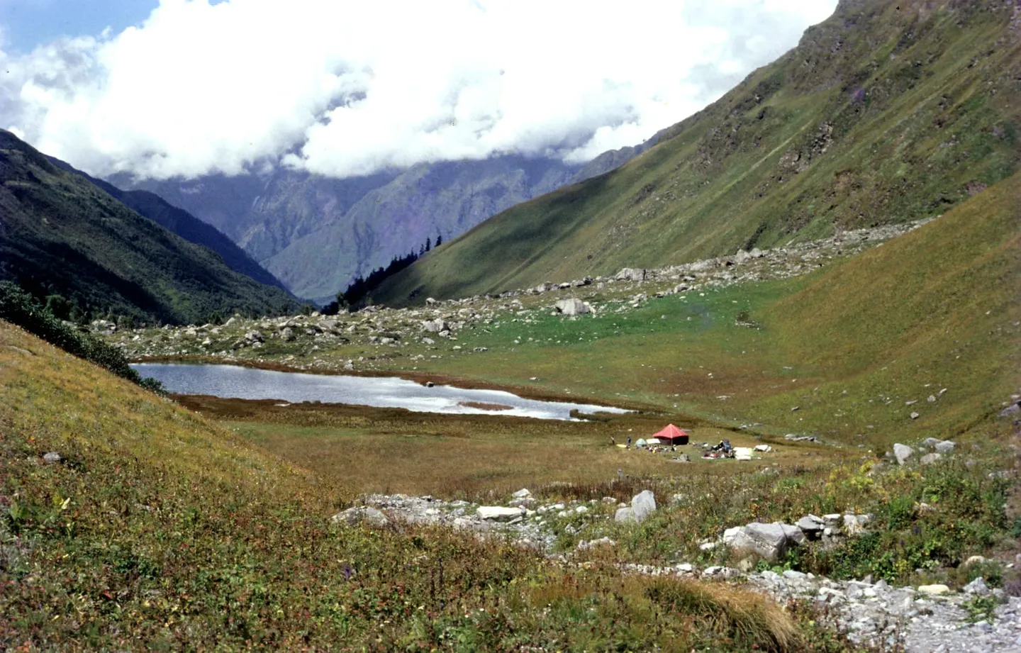
- Photo: Biswajit Majumdar · CC BY-SA 3.0
- Photo: Biswajit Majumdar · CC BY-SA 3.0
- Photo: Vaibhav78545 · CC BY-SA 4.0
Black Peak (Kalanag) Expedition
A 6,387 m mountaineering expedition to the highest summit of the Bandarpunch massif, approached through the Ruinsara valley from Sankri — an Indian Mountaineering Foundation open peak with a fixed-rope ice wall below the summit ridge.
Trip details
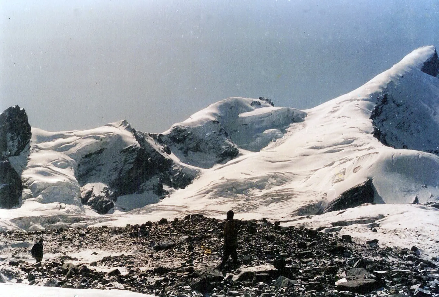
Kalanag means black cobra, and the peak is named for the shape of it: a dark rock hood above the snow, at 6,387 m the highest of the three summits in the Bandarpunch massif. The English name, Black Peak, is the one the Indian Mountaineering Foundation uses in its own register of open peaks, so you will meet both names on the same trip and they are the same mountain. It was first climbed in 1955 by J. T. M. Gibson, an English housemaster at the Doon School in Dehradun, by the north-west flank. Eighteen years earlier Gibson had been on the summit ridge with John Martyn and a young Tenzing Norgay without going to the top. The school connection is not incidental — Kalanag has been a training mountain for Indian climbers for seventy years, which is exactly why it gets described as an approachable 6,000 m peak. Approachable is doing a lot of work in that sentence. The walk in is a genuine pleasure, five days up the Supin and then the Ruinsara valley through Govind Pashu Vihar National Park, past Osla and Ruinsara Tal, to a base camp at Kyarkoti around 4,045 m. Above that it is a mountaineering route: roped glacier travel, crevasses, and a fixed-rope ice wall of roughly 23 m at something near 70 degrees below the summit ridge. Operators grade it Alpine AD, which is the grade at which a mountain stops forgiving inexperience. A British team on the unclimbed east face in 1986 got to about 5,790 m on the north ridge and turned round in 1.25 m of fresh snow, and their account of overhanging ice cliffs and crevasses is the most honest description of this mountain in print.
- Sankri at 1,950 m, the roadhead at the end of a 200 km, eight-to-ten-hour drive from Dehradun, and the last stable mobile signal of the trip.
- The Supin valley and then the Ruinsara valley, five days of walking in through oak, deodar and birch inside Govind Pashu Vihar National Park before the mountaineering begins.
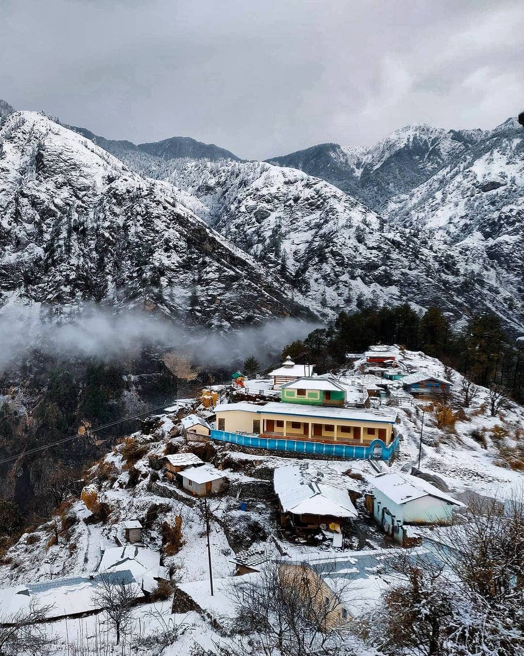
- Osla, the Supin-valley village with its carved wooden temple to Duryodhana — one of very few places in India where he is worshipped rather than reviled.
- Ruinsara Tal, the lake the Indian Mountaineering Foundation's own peak register names as this peak's base camp, though most operators press on above it to Kyarkoti.
- Base camp at Kyarkoti, around 4,045 m, with the Bandarpunch massif directly overhead and the route visible from the tents.
- The glacier: roped travel, crevasses under snow bridges, and the seracs and ice cliffs that make the upper mountain what it is rather than a walk-up.
- The fixed-rope ice wall below the summit ridge — about 23 m at roughly 70 degrees, jumared on the way up and abseiled on the way down, and the single technical crux of the climb.
- From 6,387 m: Swargarohini, Bandarpunch main and Bandarpunch West across the massif, and on a clear morning the Gangotri peaks away to the east.
This is not a trek you can train for by walking. You need cardiovascular fitness at expedition standard — operators publish benchmarks around 5 km in under 32 minutes, 8 to 10 km a day carrying 10 kg, and a 1,000 m single-day ascent — and you need those on top of technical competence. Before you book, be honest about whether you can arrest a fall with an ice axe on a real slope, move roped on a glacier, ascend a fixed line on a jumar and abseil back down it. If you cannot, the place to learn is a Basic and then Advanced Mountaineering Course at a recognised institute, not the ice wall at 6,000 m. Indian teams applying through the mountaineering federation face experience requirements on the team leader in any case. Allow six months of preparation, not six weeks.
- This is a mountaineering expedition, not a trek. Roped glacier travel, crevasse rescue, jumaring a fixed line and abseiling are all used on the route, and a party without those skills has no business above base camp.
- An Indian Mountaineering Foundation peak permit is required. Black Peak sits on the federation's open-peaks list, which means the permission process is comparatively quick, not that it is optional.
- Foreign expeditions are assigned a liaison officer by the federation and pay that officer's equipment costs. Peak fees for foreign teams are published in US dollars and the published fee tables are dated and inconsistent with each other, so get a current figure in writing rather than budgeting from a web page.
- A separate Govind Pashu Vihar National Park entry permit covers the walk in, issued through the forest check-post on the Netwar-Sankri road.
- Base camp is named differently by different authorities: the federation's own peak register says Ruinsara Tal, while every operator itinerary places base camp higher at Kyarkoti, around 4,045 m. Both are on the same route; check which your itinerary means.
- Fifteen days Dehradun to Dehradun is the standard length, and the buffer days in it are for weather, not for sightseeing. Expect to use them.
Fly to Jolly Grant airport at Dehradun or take a train to Dehradun, then drive roughly 200 km and eight to ten hours to Sankri via Mussoorie, Purola, Mori and Netwar. Most expeditions assemble in Dehradun, where the federation's paperwork and any hired technical kit are usually sorted out, and drive up as a group. Sankri sits at 1,950 m. Purola, about 30 km short of it, is the last town with a market and basic medical care; the district hospital is at Uttarkashi, 195 km away by the Mori road.
- Double or insulated mountaineering boots, crampon-compatible and worn in — not trekking boots
- Ice axe, crampons, climbing harness, jumar and belay device; operators often hire these locally, but confirm before you arrive rather than after
- Down jacket and a full layering system rated for sub-zero nights at 5,500 m
- Sleeping bag rated to at least -20°C, plus an insulated mat
- Glacier glasses and SPF 50+; snow blindness is a real risk on the upper mountain
- Gaiters, mittens and spare gloves — losing a glove on a fixed line is a serious problem at altitude
- Headlamp with spare batteries for pre-dawn summit starts
- Personal medication, and the paperwork for your national federation permit
Safety details & FAQ
How high is Black Peak, and is it the same as Bandarpunch?
Kalanag, or Black Peak, is 6,387 m — one source gives 6,388 m, a difference of no consequence. It is the highest of three summits in the Bandarpunch massif, the others being Bandarpunch main at 6,316 m and Bandarpunch West, sometimes called White Peak, at 6,102 m. The Indian Mountaineering Foundation's register lists Black Peak and Bandarpunch West as separate peaks with different coordinates and different base camps. Be aware that the confusion runs deep: the Himalayan Journal's own 1986 field report calls Kalanag "Bandarpunch I", so even serious historical sources conflate them.
Do I need mountaineering experience?
Yes. This is a technical climb, graded Alpine AD by operators who run it, with roped glacier travel, crevassed terrain and a fixed-rope ice wall of about 23 m at roughly 70 degrees below the summit ridge. Operators expect prior experience above 5,000 m and generally prefer a Basic Mountaineering Course certificate or equivalent; the mountaineering federation imposes its own experience requirements on the leader of an Indian team. Nothing about this peak is a first climb.
What permits do I need?
Two. An Indian Mountaineering Foundation peak permit, since Black Peak is on the federation's open-peaks list, and a Govind Pashu Vihar National Park entry permit for the approach through the forest. Foreign expeditions are additionally assigned a liaison officer by the federation and pay that officer's equipment costs. Peak fee tables published for foreign teams are dated and do not agree with each other, so ask the federation for a current figure rather than relying on a published page.
When is the climbing season?
Two windows: May and June before the monsoon, and September and October after it, with one operator extending into November. July and August are out — the monsoon loads the slopes and removes the visibility. Winter is not attempted commercially.
How long does the expedition take?
About fifteen days from Dehradun and back, consistently across operators. Roughly five of those days are the walk in through the Supin and Ruinsara valleys, several are spent acclimatising and moving loads between base camp, advance base and the higher camps, and the rest are the summit attempt and the descent. The weather buffer days are real and you should expect to need them.
Where is base camp?
Depends who you ask, and both answers are on the same route. The mountaineering federation's own peak register gives Ruinsara Tal, the lake in the Ruinsara valley. Every operator itinerary we checked puts base camp higher up at Kyarkoti, around 4,045 m, and treats Ruinsara Tal as a night on the way. Advance base is usually around 4,600 m with camps near 5,200 m and 5,500 m above it, though those figures come from a single operator and are not independently corroborated.
Has anyone died on it?
We could not find a documented fatality on Kalanag, and we are not going to imply one to make a point. What is on the record is a British team that attempted the unclimbed east face in October 1986, reached about 5,790 m on the north ridge, and retreated in 1.25 m of fresh snow past overhanging ice cliffs and crevasses. That is a well-led expedition turning round, which is the correct outcome and also a fair description of what the mountain can do.